
The Canadian Collection
Pacific, Great Lakes, Atlantic. The water you grew up on, cut layer by layer from Baltic birch.
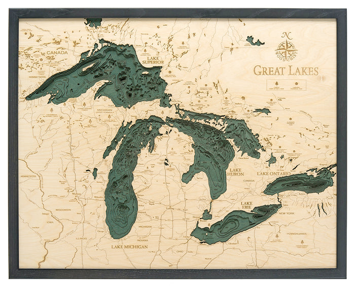
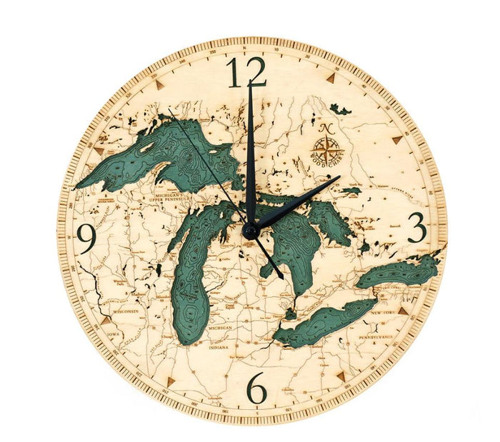
The Great Lakes

The Pacific Coast
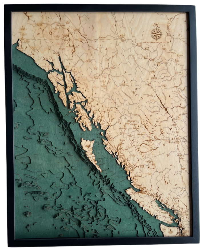
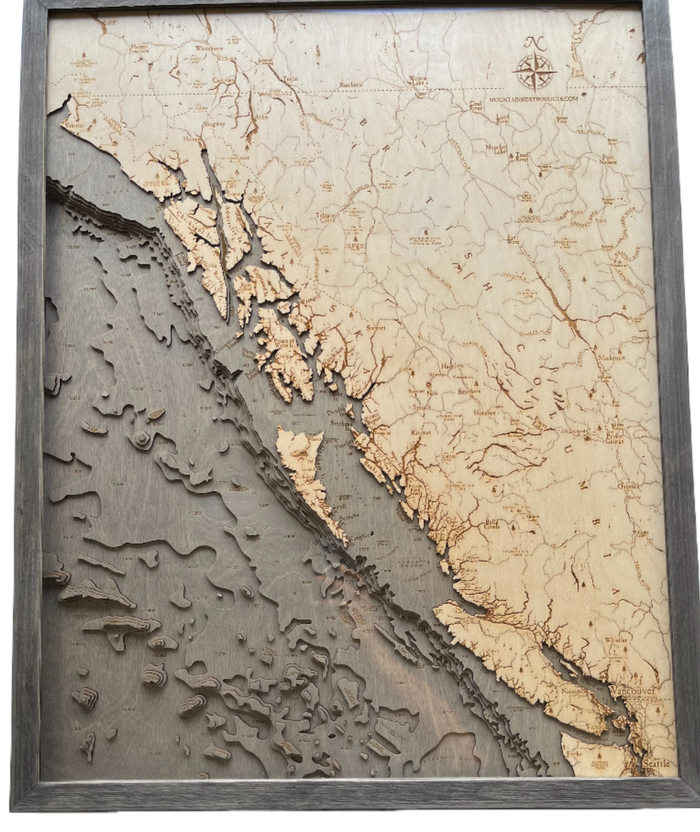
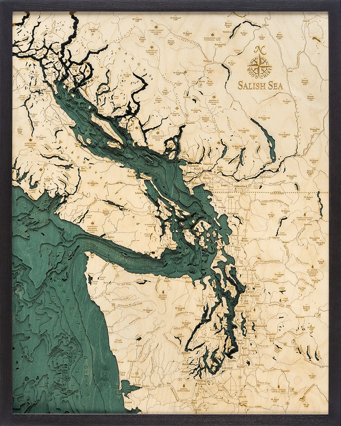
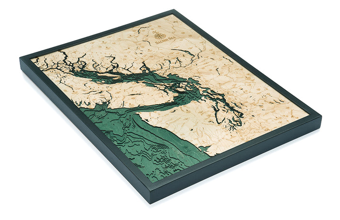
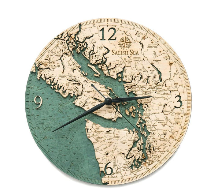
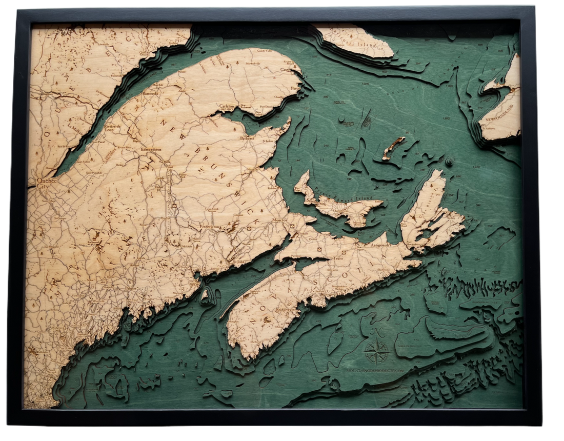
Every layer is a real depth.
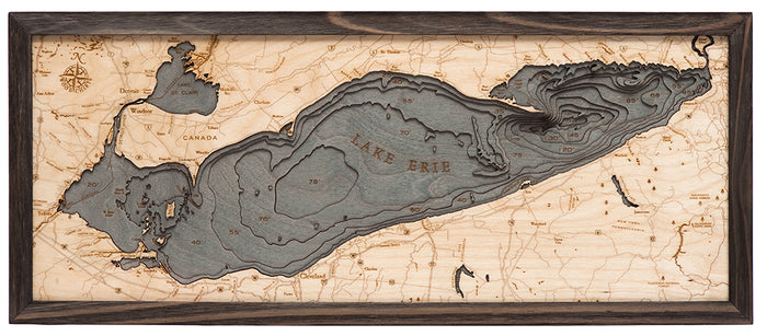
Start at the shoreline and count down. Each step in the wood follows a true depth contour, so the shelf, the drop-off and the deep channel sit exactly where they are in the water.
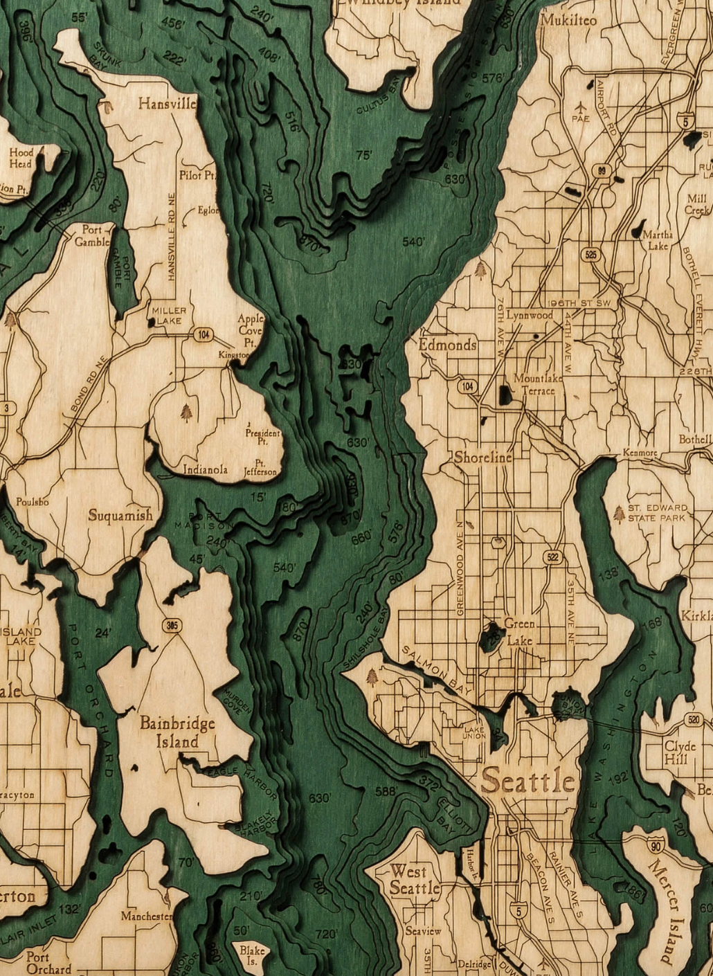
Deeper water, darker stain
It reads as art from across the room and as a chart up close.
Cut to the real bathymetry
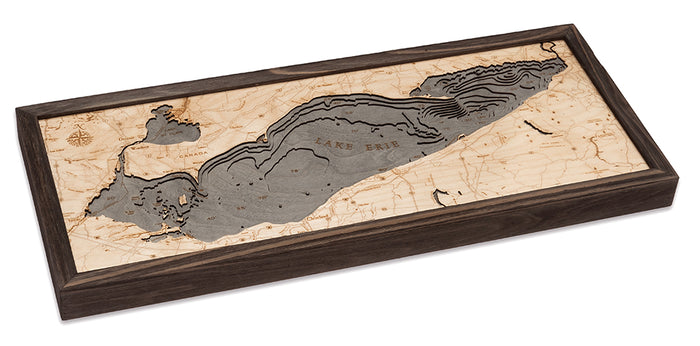
Up to twelve layers of Baltic birch, each laser-cut to an actual depth contour and assembled by hand. Nothing is smoothed over or invented.
Water stained by hand
Each water layer is a shade darker than the one above it, so you can read the depth of any bay at a glance.
Detail you can find yourself on
Shorelines, towns, islands and points of interest are marked on the top layer, close enough to find the bay your cottage sits on.
Framed and ready to hang
Set in a solid wood frame made to fit, with the hanging hardware already on. Out of the box and onto the wall.
Free Shipping Across Canada
Ships from Ontario. No duties, no brokerage, no border delays.
Handcrafted & Laser-Cut
Baltic birch, layered from real depth data and finished by hand.
Charted, Not Printed
Every contour follows real bathymetric survey data.